
Dripps, Matthew. An important map, published at a period of change for the city and its environs
拍品已结束竞投
October 15, 04:51 PM GMT
估价
2,000 - 3,000 USD
拍品信息
描述
DRIPPS, MATTHEW
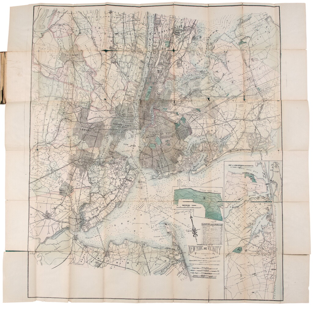
TOPOGRAPHICAL MAP OF NEW YORK AND VICINITY EMBRACING FIFTEEN CITIES AND ABOVE 1700 SQUARE MILES. NEW YORK: M. DRIPPS, [N.D, BUT CIRCA 1870]
Lithographic folding map (sheet size: 28 x 28 in.; 711 x 711 mm). Hand-colored, with two insets ("Map of Long Branch [NJ] and Vicinity," and "Navesink Park"). Within a brown cloth wallet, 1p. publisher's price list tipped onto front pastedown; splits at folds of wallet.
An important map, published at a period of change for the city and its environs
A detailed map of metropolitan New York and its environs, which extends as far east on Long Island as Oyster Bay. Shows rapid transit system, canals, and railroads. Contains an interesting catalogue of Dripps' maps.
REFERENCE:
"Checklist of Maps and Atlases relating to the city of New York in the New York Public Library" in the Bulletin of the New York Public Library (1901), V:69; not in Rumsey.