


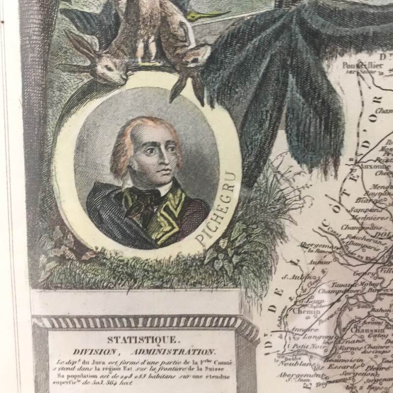


Victor Levasseur
Atlas National Illustre French Regional Maps
Circa 1850
Complimentary shipping within United States
Price:
International shipping available
Customs duties and taxes may apply.
Ships from: Illinois, United States
Taxes not included
VAT and other taxes are not reflected in the listed pricing. Read more
Authenticity guaranteed
We guarantee the authenticity of this item.
Details

Description
Framed antique maps comprising the French regions Dept. Du Jura and Dept. Des Deux Sevres.
- Victor Levasseur (French, 1795-1862).
- Sold as a set of 2.
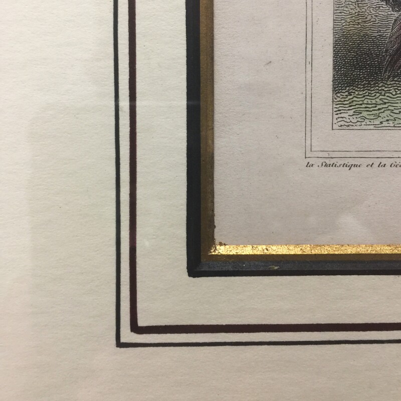
- Presented in faux tortoiseshell frames double matted with hand-colored and gilt mats.
- Glazed with glass.
- Victor Levasseur was a French cartographer who produced numerous maps more admired for the artistic content of the scenes and data surrounding the map than for the detail of the map.
Condition Report
 Very Good
Minimal signs of handling to engravings.
Small scratches to glass of one map.
Art not examined outside of frames.
Dimensions
Materials
Period
Decorative Style
Country of Origin
Conditions of Business
Please note that Condition 19 of the Buy Now Marketplace Conditions of Business for buyers doesn't apply to this item. Read more here.