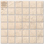
(Adirondacks) — Homer D. Sweet and Edwin A. Merritt | A rare 36-sheet wall map of the Adirondacks, 1867
Lot Closed
June 25, 06:49 PM GMT
Estimate
8,000 - 12,000 USD
We may charge or debit your saved payment method subject to the terms set out in our Conditions of Business for Buyers.
Read more.Lot Details
Description
(Adirondacks) — Homer D. Sweet and Edwin A. Merritt
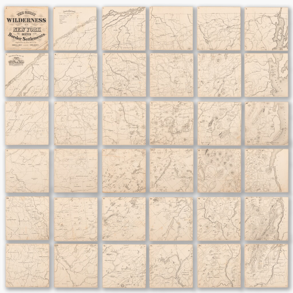
The Great Wilderness of New York and a Sketch of the Border Settlements. Albany: Weed, Parsons, and Co., 1867
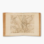
Lithographed map on 36 sheets (each 257 x 257 mm). Light, largely even toning, a few pale spots, small losses and closed tears in the margins mostly to the the first sheet, which is laid down on Japanese tissue and with a few infills to the neatline, professionally conserved in October 1994 and accompanied by a slip explaining the condition on receipt and the scope of the restoration. Housed in a blue cloth clamshell case.
A rare, early wall map of the Adirondacks, the largest and most detailed of its time, compiled from “actual surveys.”
The map shows the area from the Canadian border, between the St. Lawrence River and Lake Champlain, at the north, to Camden, NY (just above Syracuse) and Lake George at the Southern corners. Its scale is two miles to the inch. It includes place names, roads, railroads, canals, rivers, lakes, ponds, township lines, and gives various mountains and towns’ elevations. The topography is delineated through hachures. Certain other sites are marked including mines, waterfalls, and “the grave of John Brown,” which is to the south of Lake Placid.
The Adirondacks was one of the final portions of the Northeastern United States to be surveyed. On Governor Pownell’s map of 1776, written over the blank Adirondacks is, “This vast tract of land, which is one of the four beaver hunting countries of the six nations, is not yet surveyed.” Parts of the area were slowly filled in throughout the first half of the nineteenth century, though details remained sparse, the maps riddled with omissions and errors. After the Civil War, as tourists and sportsmen began to visit the remote region in greater numbers, the need for an accurate and complete map became increasingly apparent.
Sweet and Merritt’s map is one of three of the Adirondacks that were published within two years of each other. Of these, Dr. Ely’s “Map of the New York Wilderness,” published by Colton in 1867, was the most successful of the group. It went through multiple editions over the following years and is often credited with being the most accurate of the group. Sweet and Merritt’s map, on the other hand, was published by a small local firm in Albany, and was of an unwieldy size. As a result, it only exists in a single edition, and it is the rarest of the trio. Due to its size, it is far and away the most impressive.
Rare — the last time a copy of this map appeared at auction, per Rare Book Hub, was in 1957 at Swann Galleries. WorldCat lists just seven examples in institutions.
REFERENCES
Marshall, George, "Dr. Ely and His Adirondack Map," New York History, Vol. 35, No. 1 (January, 1954), pp. 32-48
You May Also Like


![Kepler, Johannes | Harmonices Mundi Libri V, Linz, 1619, first edition, [bound with:] Prodomus dissertationum cosmographicum …, Frankfurt, 1621–1622](https://sothebys-md.brightspotcdn.com/dims4/default/d54d010/2147483647/strip/true/crop/2000x2000+0+0/resize/150x150!/quality/90/?url=http%3A%2F%2Fsothebys-brightspot.s3.amazonaws.com%2Fmedia-desk%2Fwebnative%2Fimages%2F63%2F0b%2Fa27794664ee78085e15afe3c5535%2Fn12451-58tmv-t1-05.jpg)

![Darwin and Wallace | On the Tendency of Species to form Varieties ... [1858–1859], in: Journal of the Proceedings of the Linnean Society, Vol. III, No. 9., 1859, Darwin announces the theory of natural selection](https://sothebys-md.brightspotcdn.com/dims4/default/0ae5d5e/2147483647/strip/true/crop/2000x2000+0+0/resize/150x150!/quality/90/?url=http%3A%2F%2Fsothebys-brightspot.s3.amazonaws.com%2Fmedia-desk%2Fwebnative%2Fimages%2F18%2F98%2Fd0ba6d9f4fada55611b512c2635f%2Fn12451-bkh45-t1-01.jpg)


