Johannes Blaeu
Dutch Map of Arabia
1665
Complimentary Shipping
Price:
International shipping available
Customs duties and taxes may apply.
Ships from: London, United Kingdom
Taxes not included
VAT and other taxes are not reflected in the listed pricing. Read more
Authenticity guaranteed
We guarantee the authenticity of this item.
Details

Description
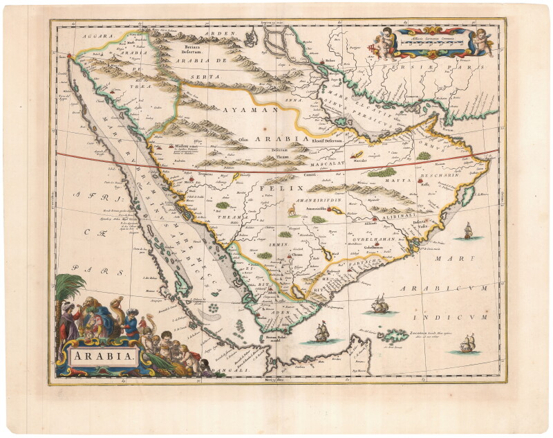
A 17th century Dutch map of Arabia by Johannes Blaeu.
- Johannes Blaeu (Dutch).
- Arabia.
- Amsterdam: circa 1665.
- Original color.
- This work is presented unframed.
A Dutch map of Arabia, decorated with an elaborate title cartouche featuring an incense caravan and a scale cartouche with cherubs with a cross-staff.
Due to the lack of new information, Blaeu still depicts the peninsula divided into the three Roman Provinces, using the Ptolemaic names: ' Arabia Felix', 'Arabia Petraea' and 'Arabia Deserta.'
'Arabia Felix' (Latin for 'Loyal Arabia') covers the majority of the Peninsula, even though the term relates to the comparatively fertile regions of present day Asir and Yemen.
'Arabia Petraea' (Stony Arabia) is located in North West Arabia and was a frontier province of imperial Rome.
'Arabia Deserta' refers to the desert interior, which was populated by nomadic tribes who frequently invaded richer lands, of which the cartographic detail is mostly imaginary.
Condition Report
 Very Good
Minor signs of age and handling.
Product is used.
Dimensions
Language
Subject
Conditions of Business
Please note that the cancellation right for EU/UK purchasers applies to this item. Please read Condition 19 of the Buy Now Marketplace Conditions of Business for buyers for more information. Read more here.