John Walker
British Map of India
1852
Complimentary Shipping
Price:
International shipping available
Customs duties and taxes may apply.
Ships from: London, United Kingdom
Taxes not included
VAT and other taxes are not reflected in the listed pricing. Read more
Authenticity guaranteed
We guarantee the authenticity of this item.
Details

Description
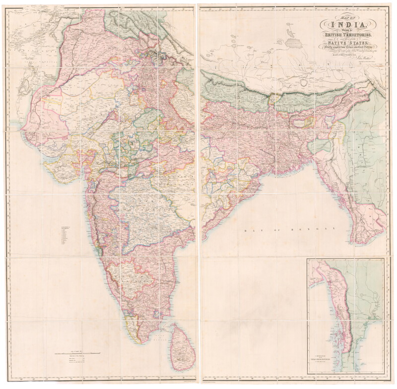
A British map of India by John Walker.
- John Walker (British).
- Map of India Shewing the British Territories and those of the Native States, Chiefly compiled from Trigonometrical Surveys Executed by order of the Hon.ble Court of Directors of the East India Company, by John Walker, Geographer to the East India Company.
- London: John Walker, 1852.
- Fine original color.
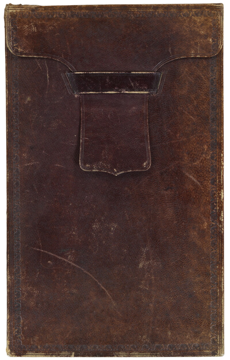
- Two sheets, laid on linen as issued, folded into its original tan morocco slipcase, gilt labeled on edge.
A large and superbly detailed map of India in fine original color, also showing Nepal, Bhutan and Burma, as wells as part of Afghanistan. British possessions are marked in red and independent states in green, with regions of our colors 'under British Protection'. The map was based on the East India Company's 'Great Trigonometrical Survey', begun in 1802, and was published only five years before the Indian Rebellion of 1857 caused the nationalization of the Company by the British government
Condition Report
 Very Good
Minor signs of age and handling.
Some signs of age and use to slip case.
Product is used.
Dimensions
Above dimensions refer to each sheet.
Width of Map with Sheets Joined: Approximately 67.32 inches / 171 cm
Language
Subject
Conditions of Business
Please note that the cancellation right for EU/UK purchasers applies to this item. Please read Condition 19 of the Buy Now Marketplace Conditions of Business for buyers for more information. Read more here.